



3D innovation for the tunnels of tomorrow
In brief
- Geology and underground mining experts at Implenia France present an innovation
- The method utilises photogrammetric 3D models directly at the tunnel face
- This makes geological structures visible more quickly and accurately
- The scans take less than five minutes and do not disrupt tunnelling operations
- The data helps to better tailor safety measures and identify risks at an earlier stage
- The 3D models support analysis, quality control and collaboration on site
- In the long term, they form a key component of the digital twin for future tunnel projects
- The method was developed by Arnaud Hochart and Guillaume Lefrançois in collaboration with the teams at the TELT CO08 construction site
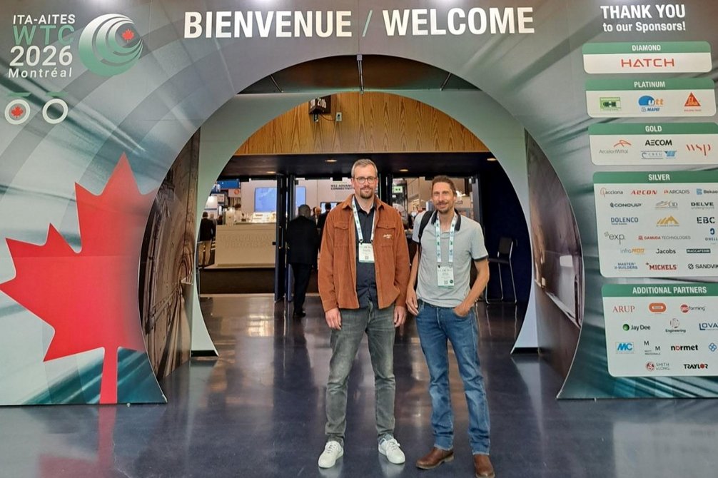
- The innovation was presented at the World Tunnel Congress 2026 in Montreal
At the 2026 World Tunnel Congress in Montreal, Arnaud Hochart and Guillaume Lefrançois, geology and underground mining experts at Implenia, presented an innovation they had developed in collaboration with the teams at the TELT CO08 construction site: the use of 3D photogrammetric models generated directly at the tunnel face to improve geological mapping and the management of underground works.
Developed on the basis of a solution already used in our Swiss projects and subsequently adapted to the operational requirements of the Lyon–Turin project, this approach demonstrates in concrete terms how digital transformation is advancing in tunnelling.
A new approach to geological surveying at the tunnel face
In tunnels excavated using blasting techniques, monitoring the geological conditions at the tunnel face is crucial for adjusting temporary support measures and ensuring the safety of the tunnelling operation.
Traditionally, these analyses are based on manual surveys carried out by geologists on site: sketches, direct measurements and visual interpretations. This is a tried-and-tested method, but one that has certain limitations, particularly in terms of safety, reproducibility and data consistency.
To address these challenges, the teams at the TELT CO08 construction site integrated a photogrammetry solution that enables the rapid creation of a georeferenced 3D model of the exposed working face.
The principle: a series of calibrated photographs of the working face is taken to reconstruct an extremely detailed 3D model that can be used directly for geological and geotechnical analyses.
An innovation for real-world conditions on the construction site
One of the biggest challenges was to integrate this technology without slowing down the drill-and-blast tunnelling cycle, where every minute counts. Photogrammetric surveys are now carried out in less than five minutes, using 30 to 50 photographs taken immediately after excavation. This speed makes it possible to integrate the survey into ongoing construction processes without disrupting tunnelling operations.
The teams also developed specific solutions tailored to the requirements of tunnelling:
- a laser-based system for georeferenced surveying without the need for target markers at the tunnel face,
- autonomous high-performance lighting,
- and a processing workflow that is compatible with existing geotechnical tools.
The result: realistic, precise and easy-to-use 3D models that facilitate an understanding of geological structures.
From a mapping tool to a strategic tool
Originally introduced to improve geological mapping, photogrammetry quickly demonstrated a much broader potential.
Today, 3D models enable:
- the analysis of discontinuity families,
- the identification of rock wedge configurations,
- the improvement of structural analyses,
- the early detection of certain geological anomalies,
- support in the adaptation of support measures,
- the verification of the correspondence between planned and actually installed support,
- the assessment of over-profiles and excavated volumes.
A specific example presented at the WTC concerned the early identification of a large shear zone near a future cross-cut. By integrating the geological data into the project’s 3D model, the teams were able to anticipate difficult conditions and prepare appropriate support measures even before the zone in question was reached.
A building block on the path to the tunnel’s digital twin
Beyond geological monitoring, this innovation is gradually contributing to the creation of a genuine digital tunnel environment.
The 3D models are now being used to:
- create more consistent as-built documentation,
- improve quality control of the shotcrete,
- analyse excavated volumes,
- facilitate collaboration between site supervision, geology and management,
- and integrate geotechnical data into the project’s BIM environment.
This digital continuity also opens up new possibilities for maintenance, immersive visualisation and the asset management of underground infrastructure..
A concrete example of digitalisation in tunnelling
In their presentation at WTC Montreal 2026, Arnaud and Guillaume demonstrated how a technology that originated from a specific operational need on the construction site can become a collaborative and strategic tool for large-scale underground projects.
This approach highlights the growing importance of digital technologies in tunnelling:
- better safety,
- higher data quality,
- decision support,
- optimisation of resources,
- and the preservation of knowledge throughout the entire life cycle of the structures.
Developed directly from practical experience on the construction site, this approach demonstrates how an operational innovation can gradually evolve into a strategic tool for the tunnels of tomorrow.
The TELT-Project

The Turin–Lyon railway project is a high-speed line currently under construction. At the heart of this project is the 57.5 km Mont-Cenis Base Tunnel, which forms a new railway axis between Lyon and Turin. The entire new line spans approximately 270.8 km, of which 140 km are in France and 46.7 km in Italy. The project is a key component of European rail infrastructure planning and is supported by the EU. It is intended to speed up east-west rail transit between France and Italy and forms part of the TEN-T rail axis No. 6 between Lyon and Budapest.
Implenia is part of the TELT project, which encompasses the construction of the Mont-Cenis Base Tunnel. In 2021, Implenia was awarded the contract to build Lot 3 of the tunnel, together with its consortium partners NGE, Rizzani De Eccher and Itinera Spa1. The project involves the construction of two 2,839-metre-long tubes towards Italy, including 11 safety cross-passages and 140 metres of open-cut tunnel.
Key figures
| 5,6 km | Tunnel to be excavated |
| 1'018 m | in umbrella vaults |
| 1'078 | arches to be laid |
| 11 | Safety engines |
| 600'000 m3 | Earthworks |
| 2'700 m2 | acoustic hangar |
| over 127'000 m2 | construction site equipment |
| 5 years | Construction time |
| EUR 228 million | Order volume |
| Over 300 people | on site at peak times |